
Thomas Jefferson Nautical Maps
Ever since he asked for them in 1807 they have been mapping the coastline but now Thomas Jefferson nautical maps are dead. While it is important to point out that the actual surveying will still be done they will just stop printing the maps.
 One of the most interesting parts of that report is that it supposedly cost them $20 per 4′ by 3′ map to print it for the people. Something tells me they should be able to do it cheaper. Since the actual mapping will still be done there is a great opportunity for a private enterprise to fill the need at a cheaper rate.
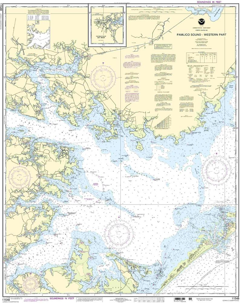
The rate is not the issue nor is the actual maps it is the problem of where we are headed. I can tell you from first hand experience that you do not want to rely on electronic maps. Be prepared and spend the money on a paper map. Those of you familiar with Big Foot Slough around Ocracoke Island knows to not rely on the map anyway.
Despite the fact that the maps are out of date before they are printed in some places it is still a bad day to know that Thomas Jefferson nautical maps are dead after so many years.